Journal Boards
Editor
Assistant Editor
Editorial or Advisory Board
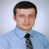
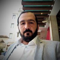
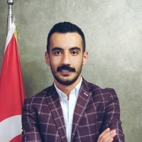

Professor in 3D GIS at Universiti Teknologi Malaysia. Co-Chair for Land Administration Domain Model at FIG (Federation International of Geomatic) from 2022 to 2026.
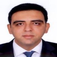
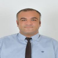
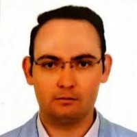
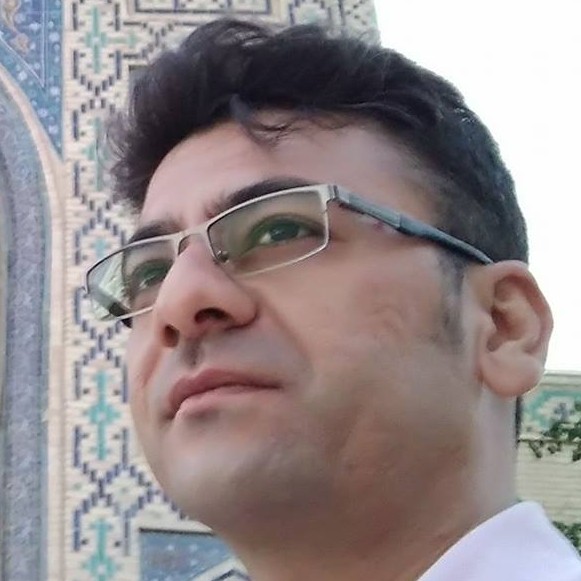
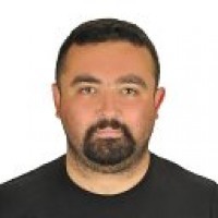
Mustafa Ustuner received his PhD and MSc degrees in Geomatic Engineering from Yildiz Technical University and his BSc in Geodesy and Photogrammetry Engineering from Karadeniz Technical University, Türkiye. He was a visiting researcher in the Geo-Spatial Analytics Lab at the University of South Florida in the US and in the Department of Earth Observation, Institute of Geography at the Friedrich-Schiller-University of Jena in Germany.
Currently, He is working as an assistant professor for Samsun University, Türkiye. As an editorial task, I have been serving as an associate editor for the European Journal of Remote Sensing, Turkish Journal of Remote Sensing and Geoplanning: Journal of Geomatics and Planning. Also, He was one of the guest editors of the special issue entitled "Advances in Remote Sensing for Monitoring and Characterising Vegetation Responses to Changing and Extreme Climatic Conditions" in MDPI Remote Sensing.
His main research interests include Polarimetric Synthetic Aperture Radar (PolSAR) Remote Sensing, Applied Machine Learning and particularly Hyperspectral Data Analysis. Recently, he is working on dimensionality reduction and classification of hyperspectral images.


 Türkiye
Web
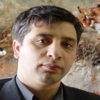
Dr. Khalil Valizadeh Kamran is currently working as a full Professor in the Department of Remote Sensing and GIS, University of Tabriz , Iran. His research interests includes Land use/Land cover classification, monitoring and change detection, Image processing, Thermal remote sensing, Remote sensing and GIS applied to climatology,Remote sensing and GIS application for Geohazard monitoring and risk assessment, SAR image processing, GIS based climatology. He is serving as an editorial member and reviewer of several international reputed journals. Prof. Dr. Khalil Valizadeh Kamran is the member of many international affiliations. He has successfully completed his Administrative responsibilities. He has authored of many research articles/books related to Land use.
I am guest researcher at Mersin University as a TUBITAK project
 Türkiye
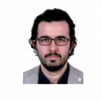
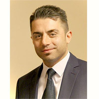
Mustafa Zeybek is now an assistant professor at the University of Selcuk, Turkey. His research interests include LiDAR, computer graphics, computer vision, UAV image processing, R programming and 3D reconstruction.
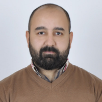
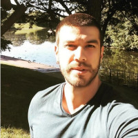

Elliot Hartley is the Managing Director of Garsdale Design, and an internationally recognised 3D geodesign expert. He is also known as a pioneer and instructor in the use of Esri’s ArcGIS CityEngine for urban planning projects and 3D city modelling.
Elliot has had more than 20 years working in the fields of GIS, planning, 3D urban modelling and geodesign. He has spent some of that time working as a Senior Planner in private practice, as well as a Development Control officer within local authority planning Departments.
He has consulted for and trained teams in some of the world’s leading planning and architectural consultancies in Europe, North America, and the Middle East. In addition, he has also provided training and services for local government/city authorities in Europe, North America, and the Middle East.
As a subject matter expert in 3D urban modelling Elliot has spoken and conducted workshops/webinars/seminars at many international events on topics of planning, 3D urban modelling and geodesign.
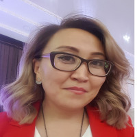
Language Editor
Layout Editor
Turkish Journal of LiDAR/Turkey LiDAR Journal


